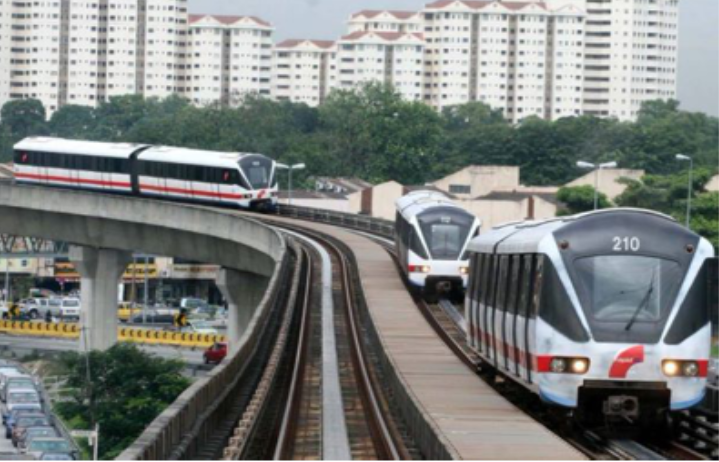
Kelana Jaya LRT Line
LRT Line extension from the original 29 km, comprised 17 km elevated..
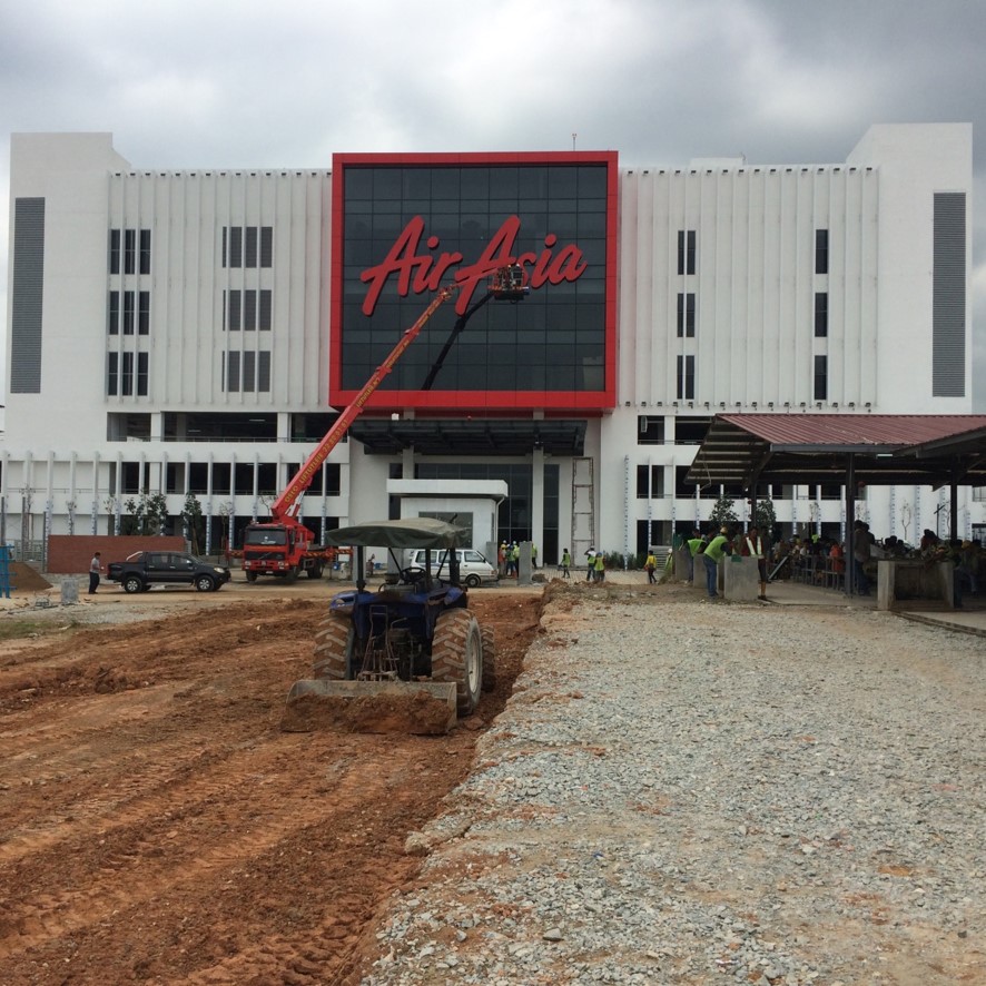
AirAsia Global HQ
RedQ comprised a 6-storey office block including 3 lev..
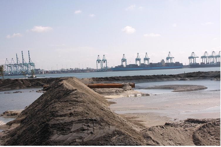
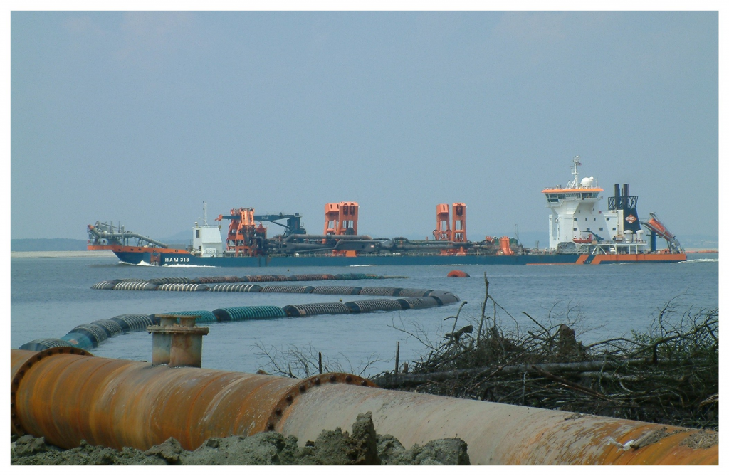
Land Reclamation
Detailed engineering design for platform underlain by 30m very soft..
ATT Hydrocarbon Storage
Detailed land reclamation design for 750,000 m3 storage terminal..
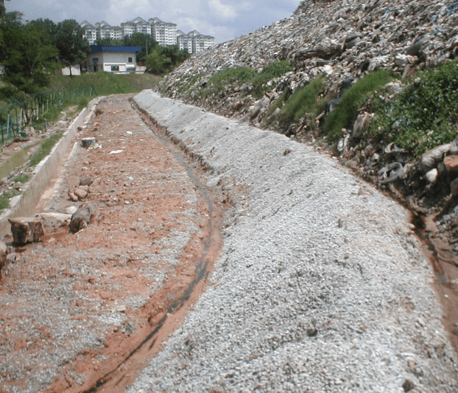
Taman Beringin Landfill
An existing landfill with extremely heterogenous wastes and slopes ..
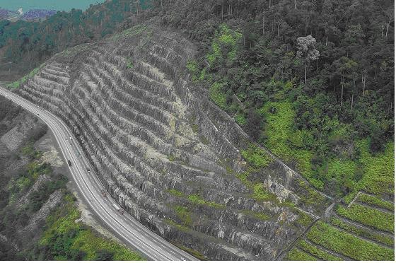
Assessment of Rock Slope
Stability assessment of 8 nos. highway rock slopes with total length of 2 km..